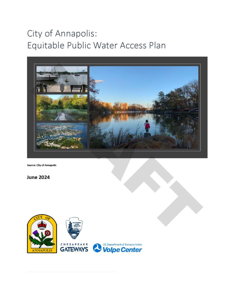
 The City of Annapolis, in partnership with the National Park Service (NPS) Chesapeake Office and the U.S. Department of Transportation (DOT) Volpe Center, is creating Annapolis’ first ever citywide Public Water Access Plan. The plan is a recommendation borne out of the Maritime Task Force conducted in 2021.
The main intent of the plan is to identify key actions to establish more equitable public access to the City’s waterfront. To achieve this mission, the plan will address the following elements:
- Comprehensive Inventory of All Existing Public Water Access Sites
- Opportunity Sites for New or Improved Public Water Access
- Standards for Equitable Public Access Infrastructure
- Program and Partnership Initiatives
- Alternative Mobility Initiatives on Land and Water
The planning process kicked off with two key fact-finding initiatives: a community opinion survey, and a rigorous site inventory of all existing public water access locations in the City.
The planning team also recruited “Water Access Ambassadors” to assist the planning process with neighborhood insight, public outreach, and focus group participation.
There will be two public events where the plan will be presented. The first one is Wednesday, June 26, at Pip Moyer Recreation Center from 6-8PM. The second is Tuesday, July 9, same time and location. The comment period will be open until August 30. Beginning July 1, Planning & Zoning will have a comment log on the city website which will include all comments formally submitted and will be accessible for the public to view. Visit the Plan webpage.
If you have any general questions or comments about the plan, please email Eric Leshinsky, Chief of Comprehensive planning, at [email protected].
