
How do I check whether my site or heritage project is in the heritage area?
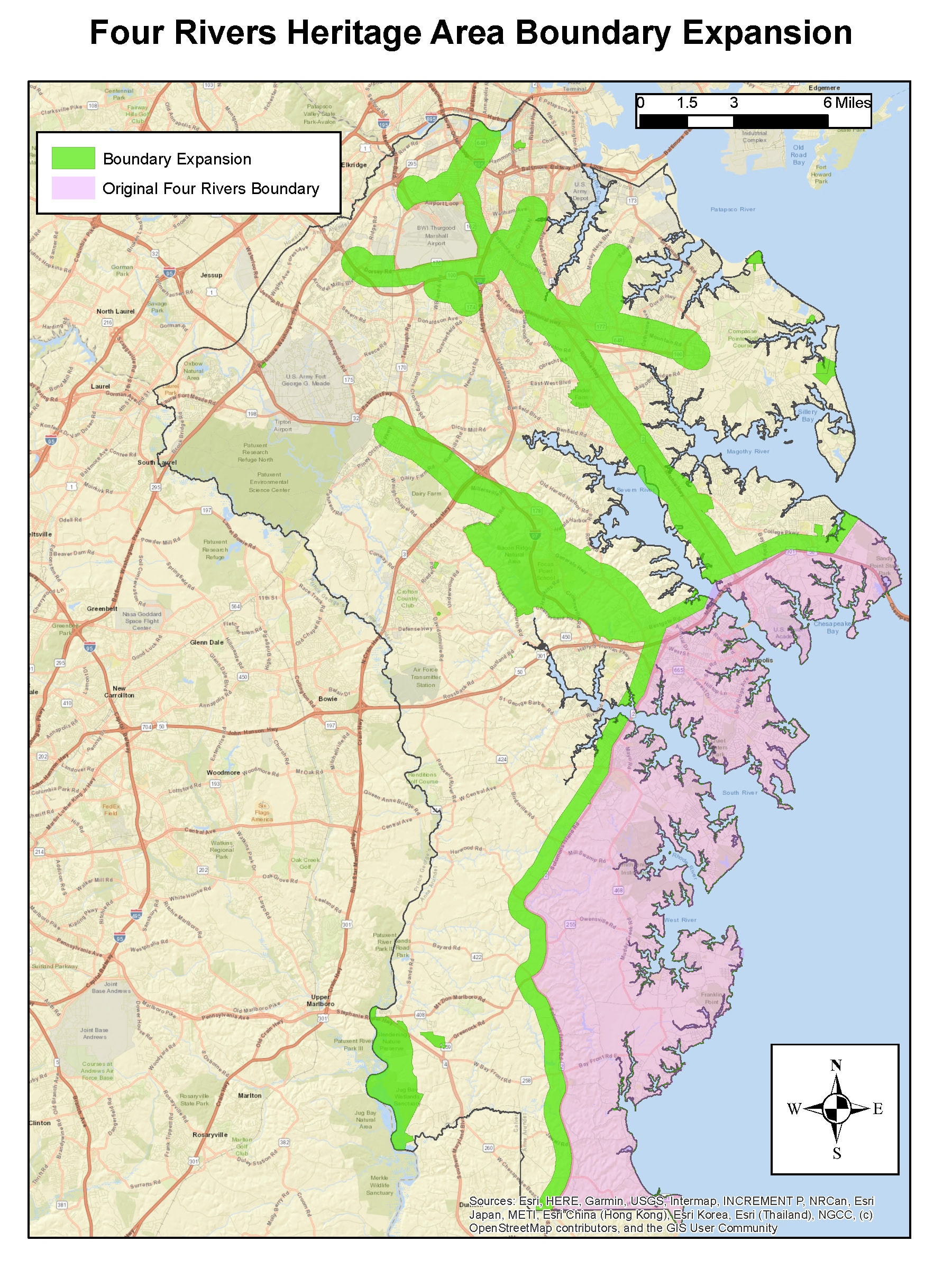
Many people may be wondering how to check whether their heritage site or proposed project is located within the heritage area’s approved boundaries (these were expanded in April 2021). Here is the tool to use!
Go to Medusa, Maryland’s Cultural Resources Information System, https://apps.mht.maryland.gov/medusa/
In the left sidebar, click on “Layers”.
One of the choices is “Other MHT Base Data.” Click on the arrow to the right within this box. Wait until the sublayer “Maryland Heritage Areas” is visible, then click that box to select this layer. Wait until the heritage area names appear on the map, then use the “+” symbol to enlarge the map area you are interested in, or search on your site name or address in the box at top that says “Find address or place.” Your location or parcel on the map should appear in the pink-shaded area of the map if this place is within the approved boundaries.
The map below is for illustration purposes only; the GIS-based map in Medusa is the resource that MHAA uses to determine eligibility.